Renderz

For Urban Planners

Plans neighbors can picture without reading CAD

Public meetings stall when the only visuals are linework and zoning tables. Residents need to see bike lanes, park edges, and streetscape materials in context — but dedicated viz studios are rarely in the municipal budget for every alternative. Renderz turns aerials, street photos, and schematic plans into readable before/after scenes for workshops and council submittals.

Street-level before / after

Show a corridor with added trees, curb extensions, or facade improvements anchored to existing photography.

Scenario A vs B for workshops

Present two development intensities or park layouts from the same vantage — feedback becomes specific, not abstract.

Faster turnaround for tight deadlines

Produce engagement visuals in-house days before a hearing instead of waiting on external consultants.

See the difference

Same workflow as the main demo — your input, a photoreal output.
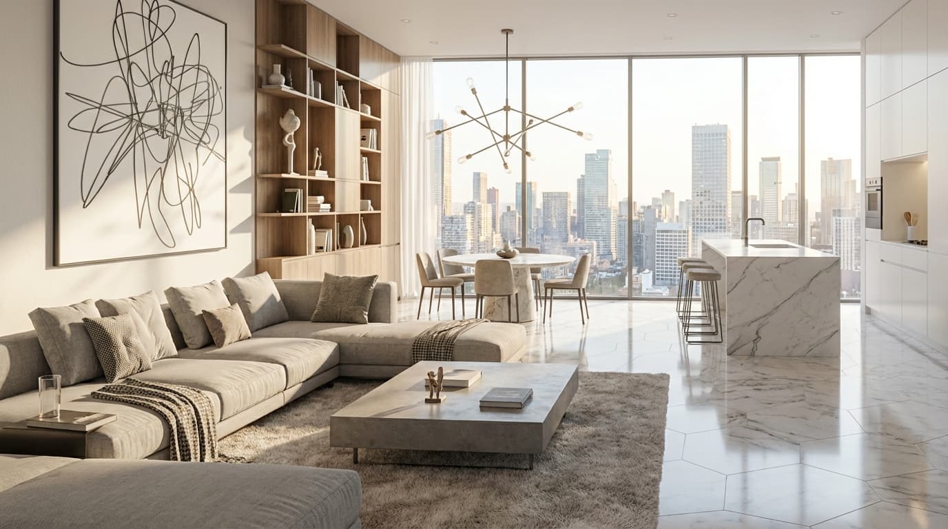
Photoreal render example
  • Street photo → proposed bike lane and street trees
  • Aerial context → mid-rise scenario at neighborhood scale
  • Plaza sketch → activated public space with seating and shade

Frequently asked questions

Are renders suitable for official environmental documents?
Use them as illustrative material alongside technical analysis — not as engineering proof or legal guarantees.
Can we show multiple community languages in materials?
Export images into your own report templates; Renderz focuses on visual generation, not document layout.
Does it replace dedicated urban 3D teams?
For high-stakes masterplans you may still need full models — Renderz covers early alternatives and public engagement faster.

7-day trial — built for urban planners

~5 watermarked renders, no card required. Upload a plan or photo and see results in minutes.